When Getting Directions Meant Unfolding A Map
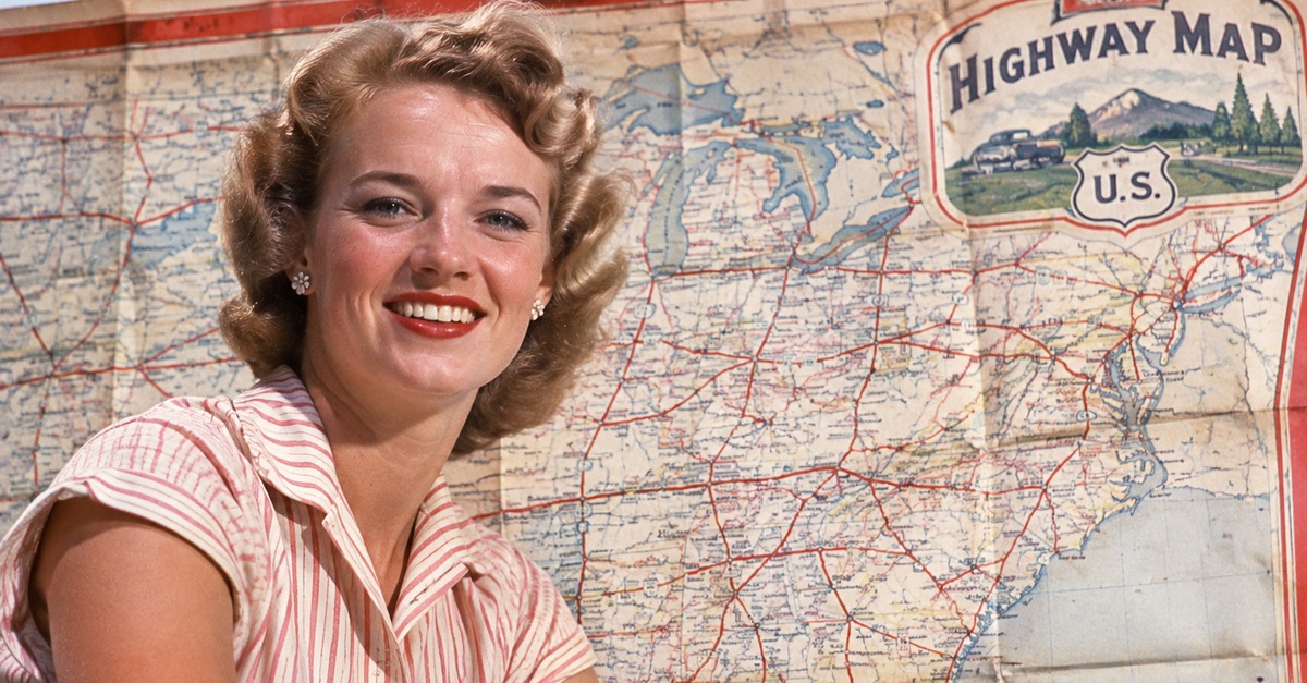
Long before GPS told drivers when to turn, American road trips often began with a colorful paper map picked up at a gas station. These maps showed highways, towns, distances, and sometimes tourist attractions, all folded into something small enough for a glove compartment. Oil companies once handed them out by the millions, making them a familiar part of American driving culture. But could the average driver today actually navigate with one?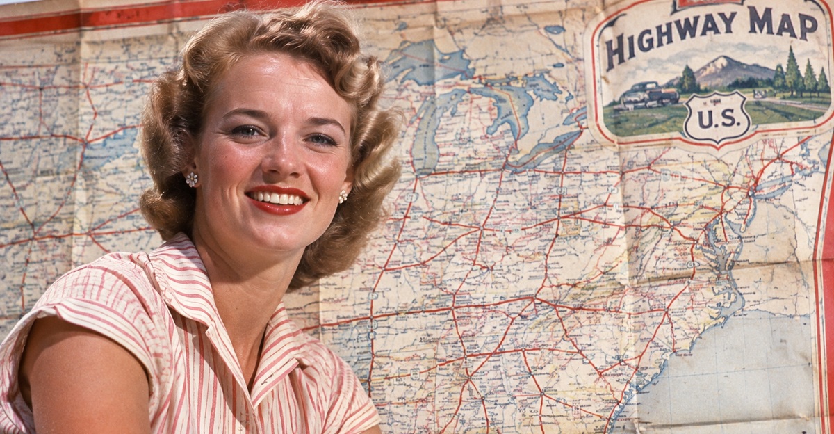 Factinate Ltd
Gas Stations Were Once Navigation Centers
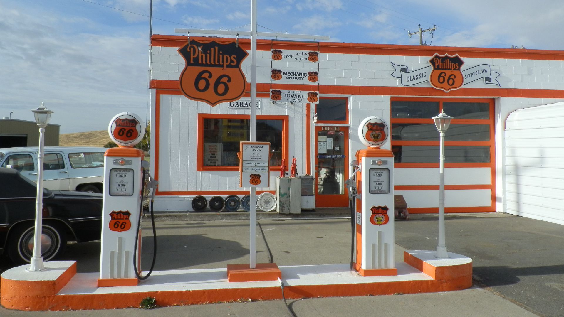
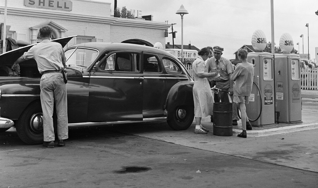
During the early decades of American motoring, gas stations offered much more than fuel. As automobile travel expanded, oil companies began providing road maps to help motorists explore unfamiliar territory. The Smithsonian's National Museum of American History documents how free maps and travel guides became part of the services available to motorists. A quick fuel stop could also provide the information needed to plan the next hundred miles.
The Maps Were Completely Free
One of the most remarkable things about these maps was that drivers generally didn't have to purchase them. The Library of Congress explains that petroleum companies distributed free road maps to encourage automobile travel and promote their brands. Companies including Shell, Gulf, Chevron, and Conoco participated in the practice. Drivers received useful travel information while the companies gained valuable advertising exposure.
The Idea Took Off More Than A Century Ago
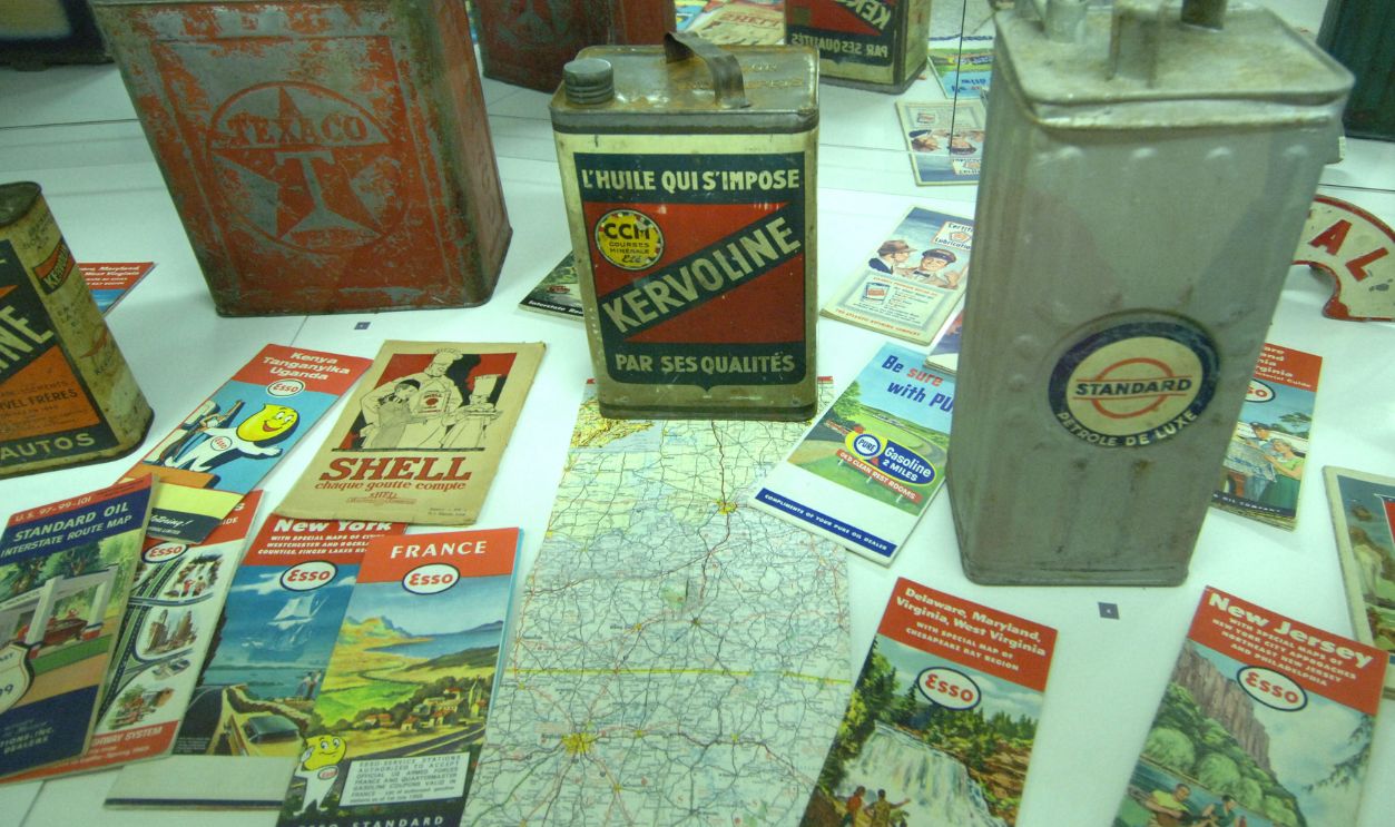
Free gasoline-company maps were already appearing during the early years of automobile travel. A historical article preserved by the Virginia Department of Transportation traces an early Gulf Oil map promotion to 1913, with maps distributed to motorists the following year. The concept quickly demonstrated how useful travel information could double as advertising. As automobile ownership expanded, other petroleum companies embraced similar promotions.
 John Margolies, Wikimedia Commons
The Golden Age Came After World War II
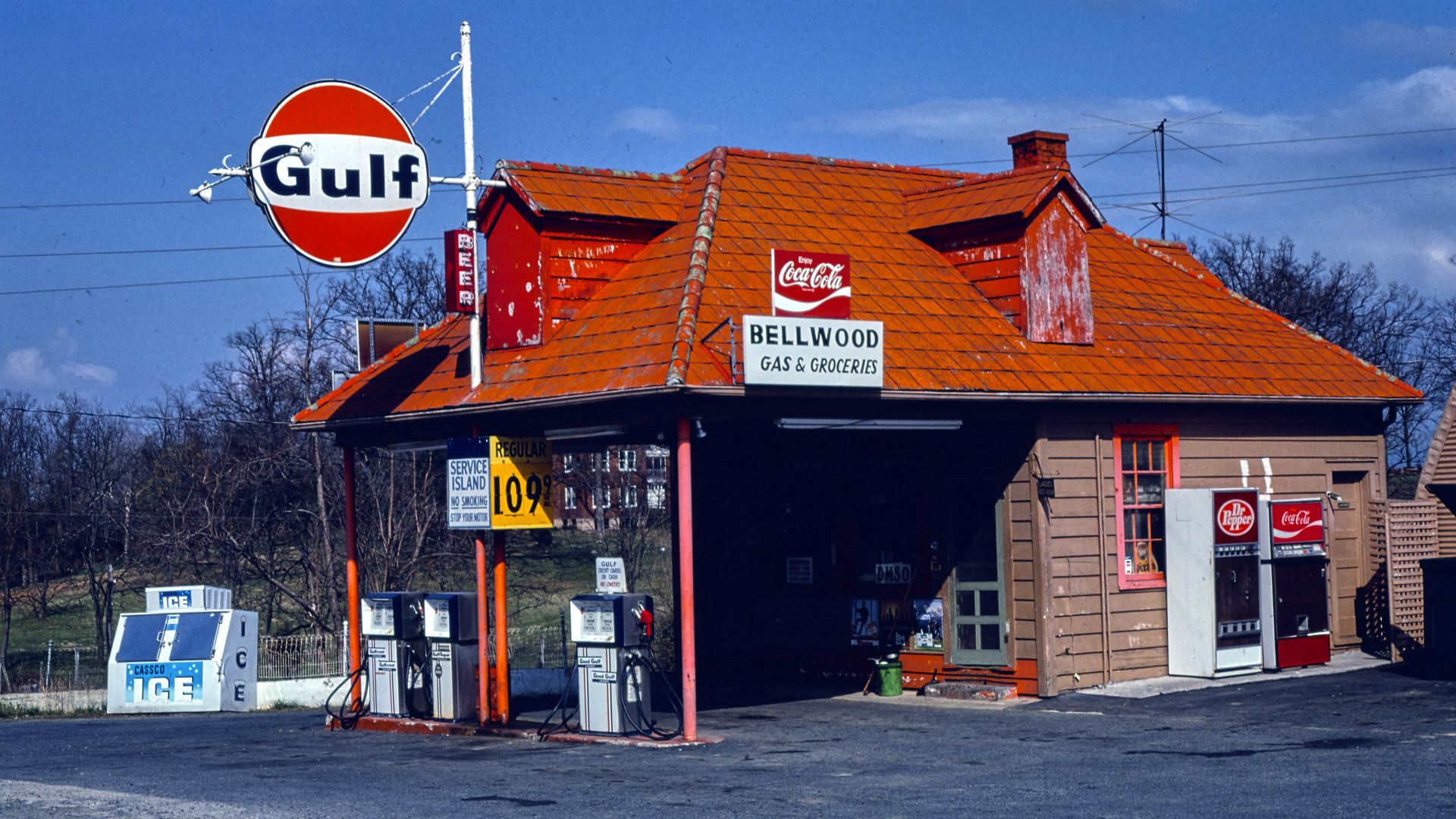
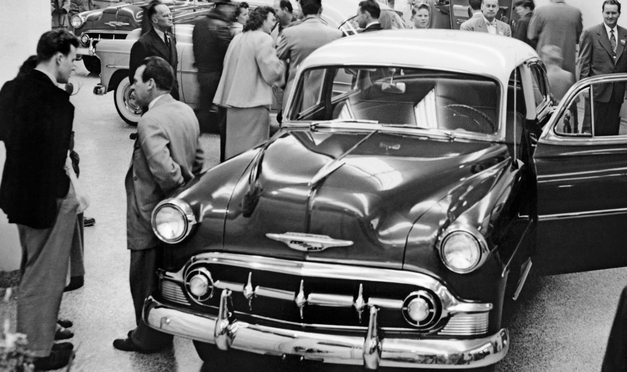
Although road maps existed much earlier, their popularity surged during the postwar driving boom. According to the Library of Congress, the period from approximately 1948 to 1973 represented the heyday of free gasoline-station maps. Growing automobile ownership and family vacations created enormous demand for highway information. For many travelers, picking up a fresh map became a normal part of preparing for a journey.
 Underwood Archives, Getty Images
Hundreds Of Millions Were Handed Out
The scale of the free-map business was astonishing. The Library of Congress reports that petroleum companies distributed an estimated 250 million road maps in 1972 alone. That was considered the industry's peak year for free map distribution. These little folded sheets were once produced in quantities that would be difficult to imagine from their relative scarcity today.
Every Oil Company Wanted Its Name On Your Map
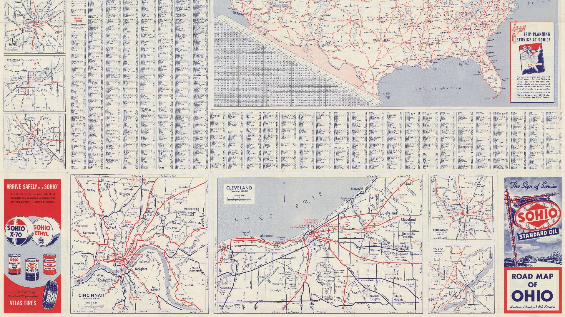
Gasoline companies understood that a useful map could keep their brand in front of drivers throughout an entire journey. The Library of Congress identifies Standard Oil, Gulf, Shell, Chevron, Conoco, and several other major producers as important map distributors. Their names and logos appeared prominently on maps that might otherwise have contained similar geographic information. The map was both a navigation tool and a traveling advertisement.
 Exxon Corporation. Auteur du texte, Wikimedia Commons
The Maps Weren't Usually Made By Oil Companies
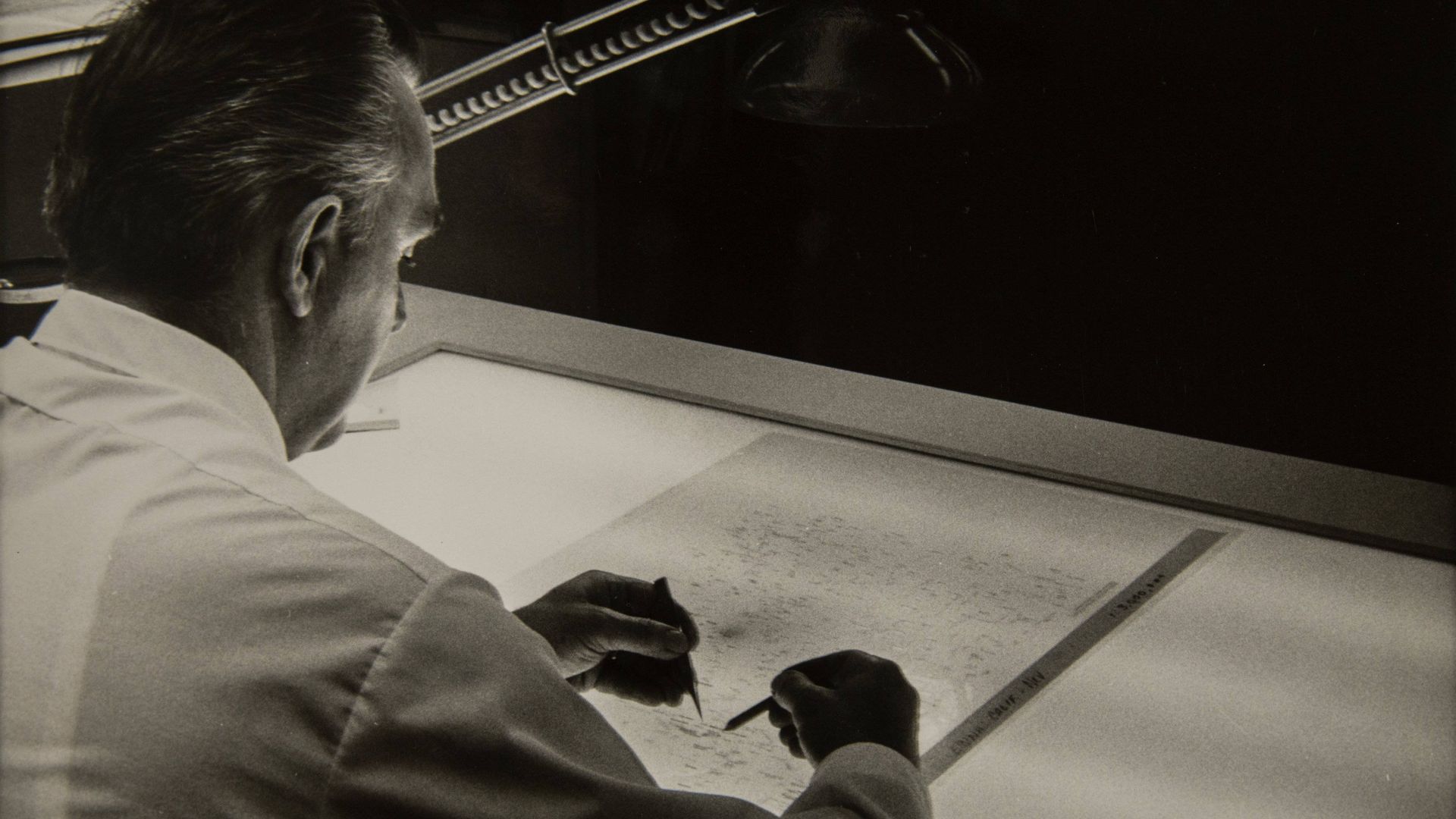
Despite the prominent gasoline-company branding, specialized cartographers generally created the actual maps. The Library of Congress identifies Rand McNally, General Drafting, and H.M. Gousha as three major companies responsible for producing them. Oil companies commissioned these publishers to prepare maps that could be distributed under their own names. The arrangement combined professional cartography with the petroleum industry's enormous marketing reach.
 Rand McNally and Company, Wikimedia Commons
Some Covers Looked Like Vacation Posters
Vintage gasoline maps weren't merely practical documents filled with highway numbers. Their covers frequently featured scenic landscapes, vacation destinations, automobiles, and illustrations celebrating the freedom of travel. The Library of Congress describes how oil companies used colorful artwork to encourage Americans to explore the country. A beautiful map cover could make an ordinary highway journey feel like the beginning of an adventure.
Families Became Part Of The Advertising
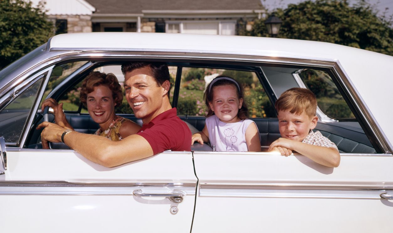
As family road trips became increasingly popular after World War II, map artwork began reflecting that trend. The Library of Congress notes that children and families appeared more prominently on gasoline-map covers during the 1950s. Companies recognized that vacationing families represented an important audience for their products. The advertisements increasingly sold the experience of traveling together rather than simply the gasoline required to get there.
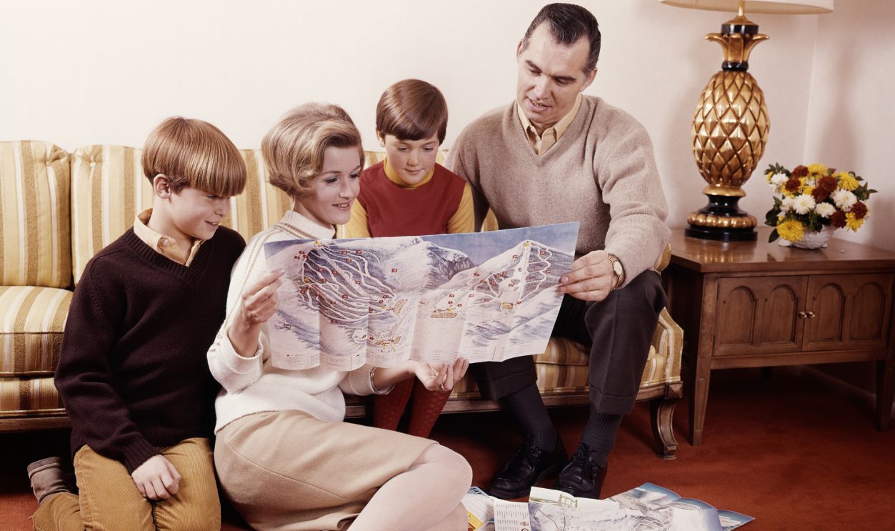
Finding Your Route Required Some Planning
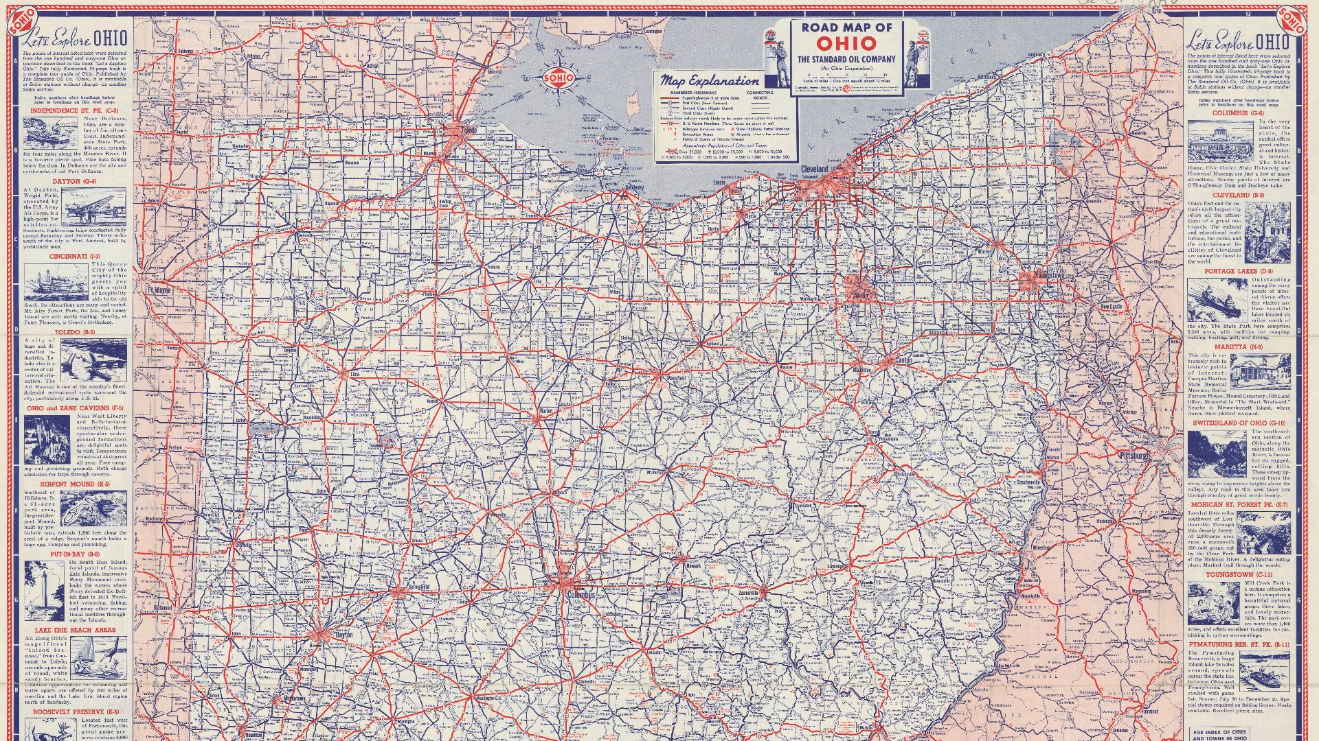
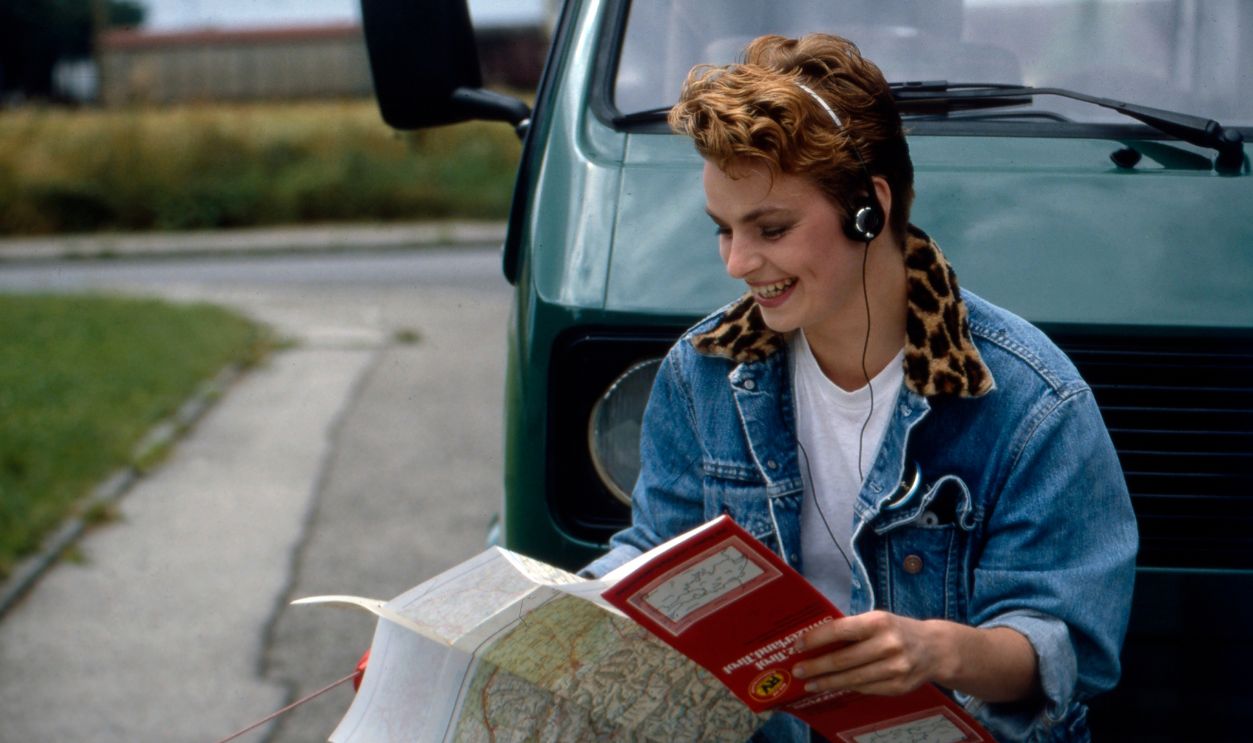
Unlike GPS, a paper map couldn't automatically calculate a route between two addresses. Drivers had to locate their starting point and destination, identify connecting highways, and decide which roads made sense. Road numbers, town names, and printed distances helped make those decisions possible. The process required a little preparation, but the information needed for ordinary highway navigation was already on the page.
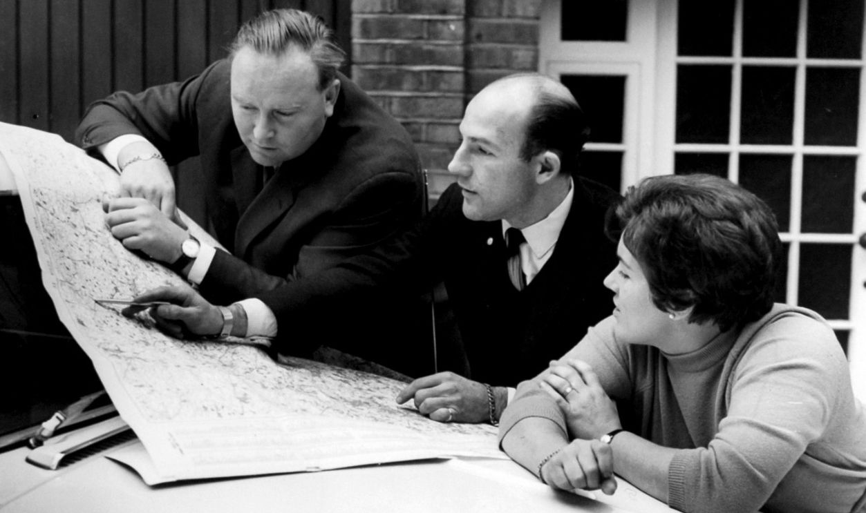 PA Images Archive, Getty Images
The Highway Numbers Were Your Best Friends
Standardized highway numbering made paper-map navigation considerably easier. The Library of Congress explains that the U.S. numbered highway system, established in the 1920s, helped motorists follow routes without relying entirely on mileage readings and local landmarks. Odd-numbered U.S. highways generally ran north and south, while even-numbered routes generally ran east and west. Recognizing those patterns could help drivers understand the broad direction of a journey.
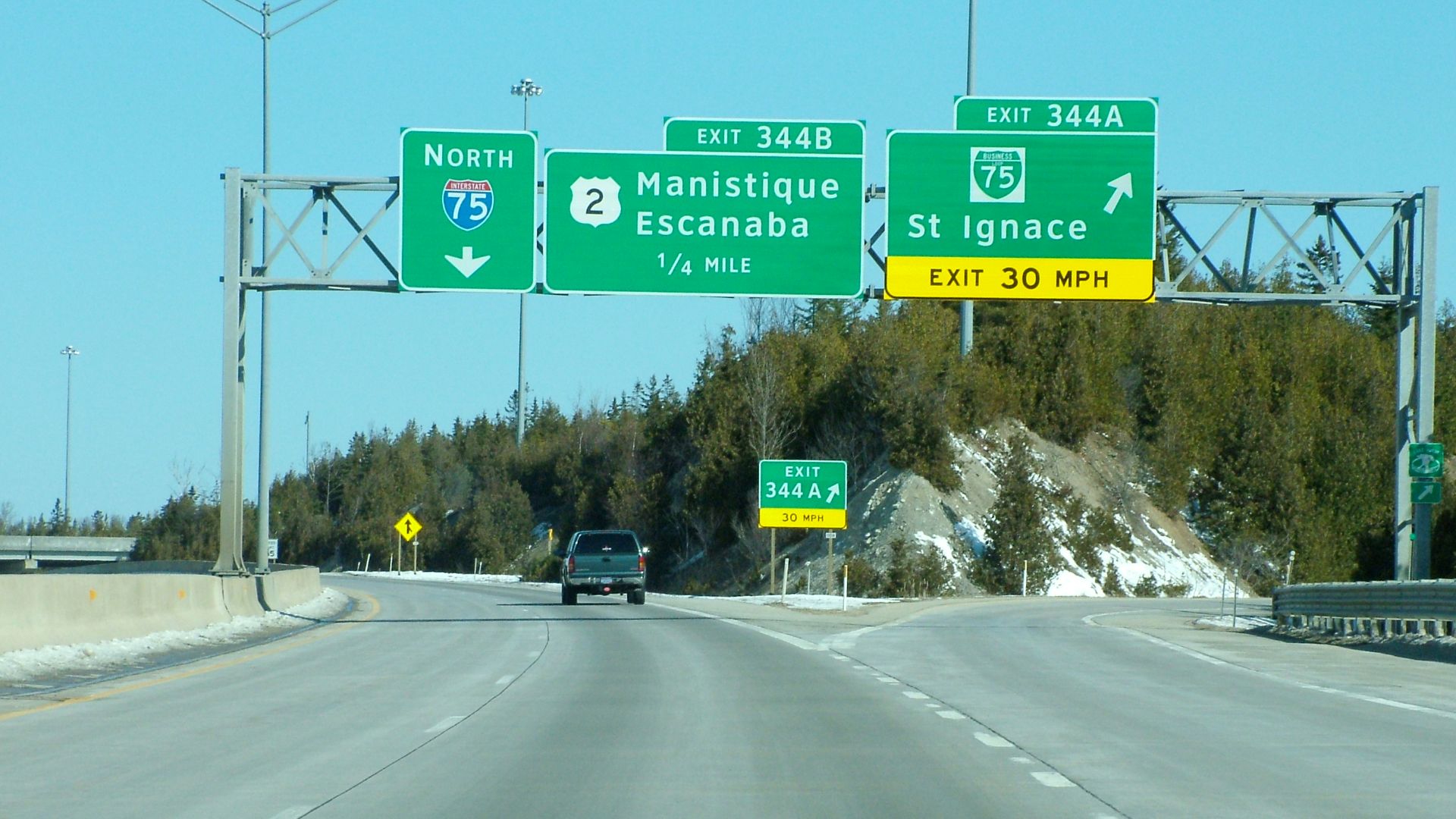 Stratosphere, Wikimedia Commons
The Interstate System Added Another Layer
The modern Interstate Highway System transformed American road travel after the Federal-Aid Highway Act of 1956. The Federal Highway Administration explains that Interstate numbering followed a geographical pattern similar to the U.S. highway system, but with important differences. Lower-numbered north-south Interstates were generally placed in the West, while lower-numbered east-west routes were generally in the South. Knowing the numbering system could help drivers orient themselves before they even unfolded a map.
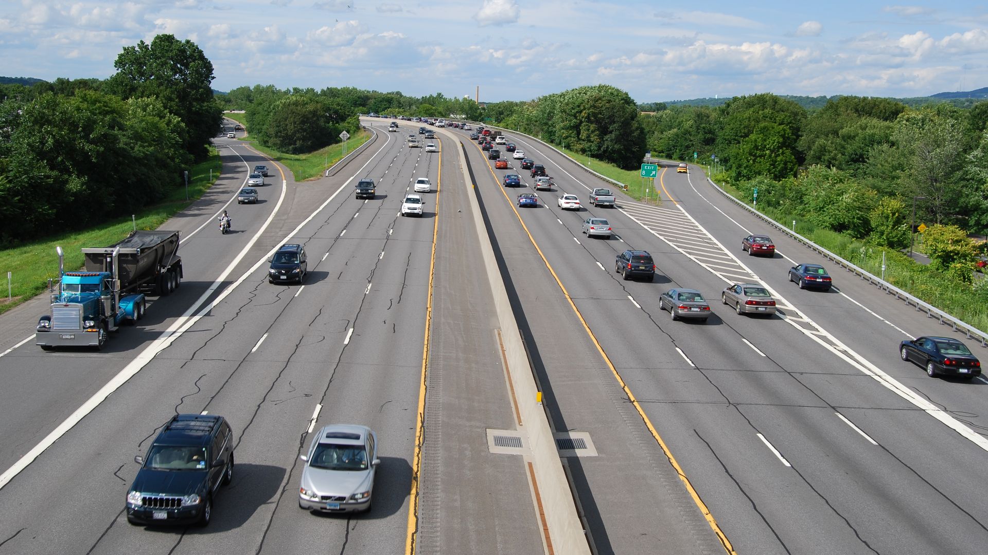 UpstateNYer, Wikimedia Commons
Reading The Map's Legend Was Essential
A road map's symbols and line styles explained what its markings represented. Different categories of roads, boundaries, and geographic features could be distinguished using the map's legend. The U.S. Geological Survey emphasizes that understanding map symbols and scale is fundamental to interpreting geographic information. Without checking the legend, an unfamiliar road marking could easily be misunderstood.
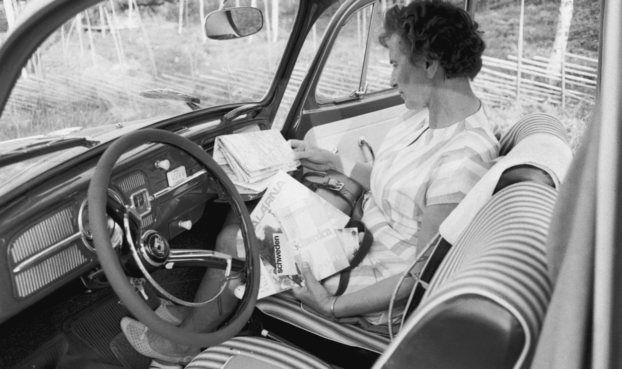
Understanding The Scale Made Distances Clearer
A map's scale tells readers how distances on paper correspond to distances in the real world. The U.S. Geological Survey explains that scale is essential for interpreting the size and spacing of geographic features. On a road map, drivers could use the scale to estimate how far apart two locations were. It wasn't as convenient as a GPS arrival-time estimate, but it provided a useful foundation for planning.
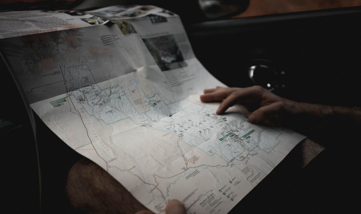
The Trick Was Following One Highway At A Time
Trying to understand an entire state map while driving would be unnecessarily complicated. A more manageable approach was to identify the main highway, note the towns along it, and remember where the next turn was needed. Standardized route numbers made this strategy practical across much of the American highway network. Instead of following spoken instructions, drivers could follow a sequence of roads and destinations.
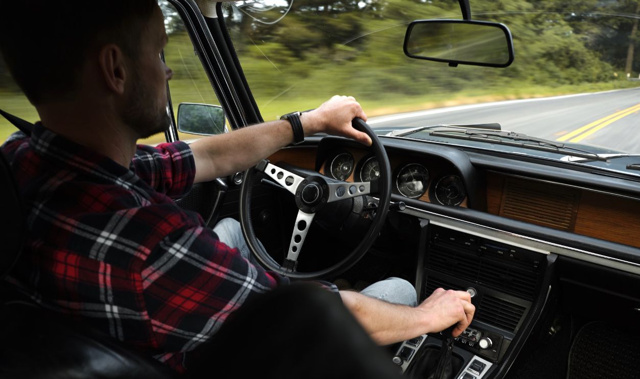
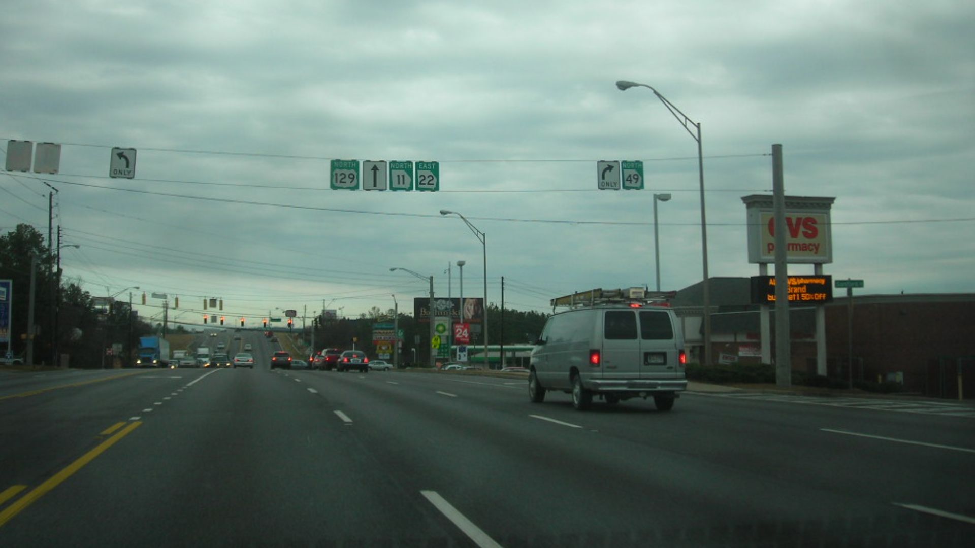
Road Signs Did Some Of The Work
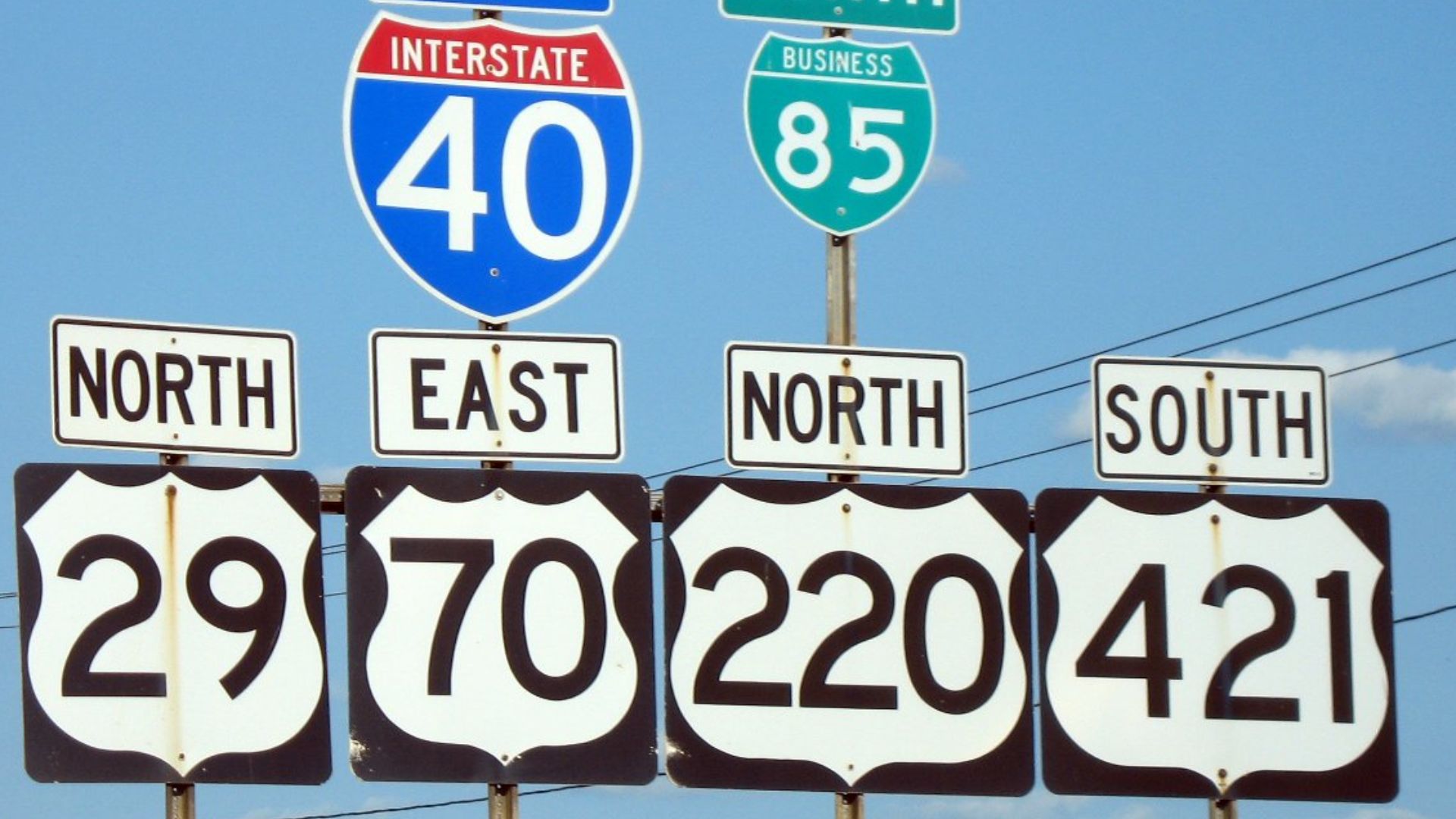
Paper maps were only one part of the navigation system. Highway signs helped motorists confirm that they were following the intended route, while destination signs identified approaching towns and junctions. The Federal Highway Administration documents how officials developed standardized Interstate signs during the 1950s. By matching road signs with the printed map, drivers could repeatedly check their progress.
 MPD01605 (talk · contribs), Wikimedia Commons
Even The Colors Of Highway Signs Were Tested
The familiar green Interstate guide signs weren't chosen entirely by accident. According to the Federal Highway Administration, officials tested blue, green, and black signs along a section of the Capital Beltway in the 1950s. Green received the strongest preference among the participating drivers, with 58% selecting it. The white-on-green design was approved in January 1958, helping establish a recognizable navigation system that complemented paper maps.
Maps Could Show More Than Just Highways
Gasoline-company maps frequently offered information that went beyond identifying roads. The Library of Congress describes maps featuring scenic attractions, historical destinations, and other places travelers might want to visit. One surviving Esso map from the 1950s included an illustrated guide to attractions around Washington, D.C. These extra details made the maps useful for discovering destinations as well as reaching them.
 Exxon Corporation. Auteur du texte, Wikimedia Commons
Road Trips Could Become Geography Lessons
A paper map presented a broad view of the landscape that a turn-by-turn navigation screen doesn't always emphasize. Drivers could see how cities, highways, rivers, and neighboring states connected across an entire region. The U.S. Geological Survey explains that maps represent geographic relationships using scale and recognizable features. Studying one could make the journey feel less like following instructions and more like understanding the country being crossed.
The Passenger Often Became The Navigator
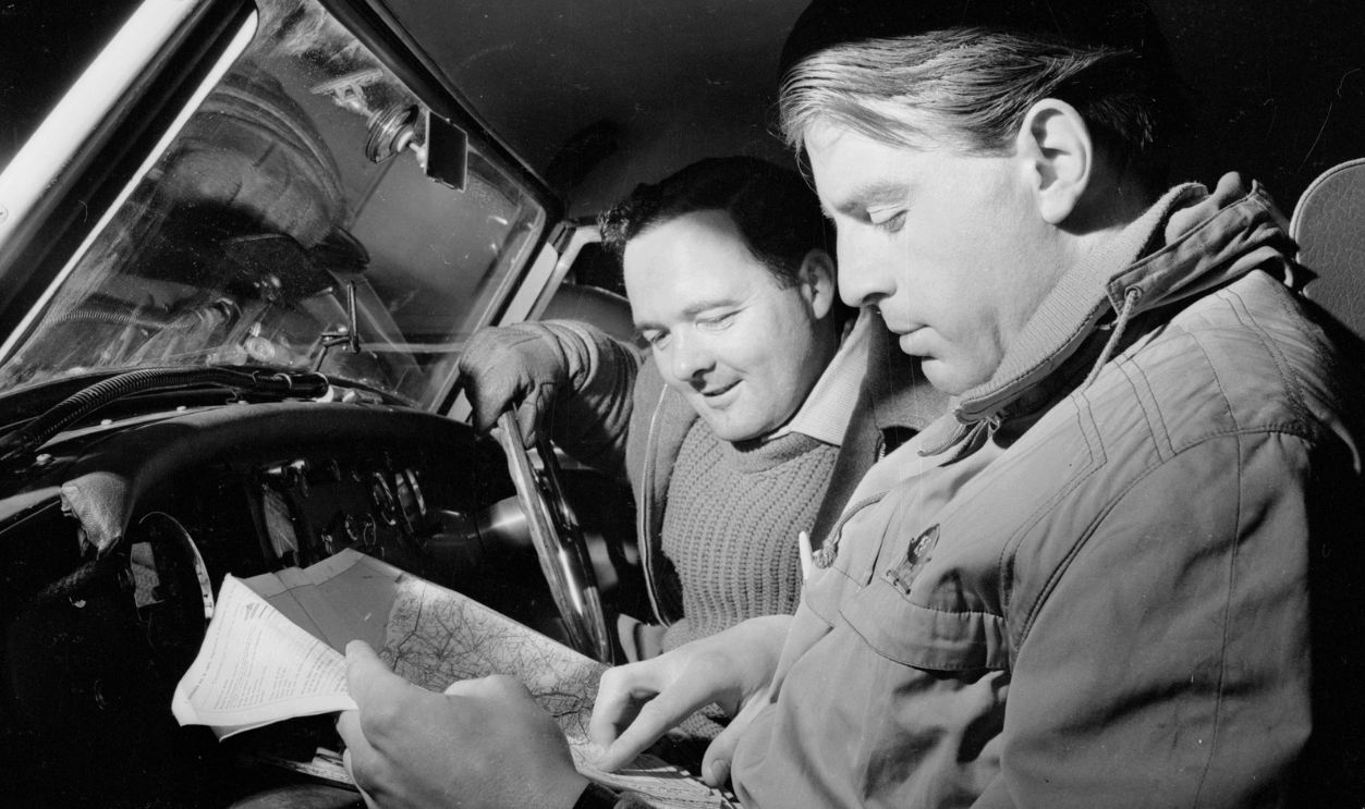
A large paper map was much easier to examine when someone other than the driver could hold it. A passenger could identify approaching junctions, check distances, and look for alternative roads while the driver concentrated on traffic. This division of responsibilities made practical sense because paper maps required visual attention and manual interpretation. Traveling alone meant planning more carefully and stopping somewhere safe whenever the map needed closer examination.
Missing A Turn Could Get Complicated
Unlike modern navigation systems, paper maps couldn't instantly recalculate a route after a wrong turn. Drivers needed to establish their current location, identify a connecting road, and work out how to return to the intended highway. Route numbers and nearby towns provided useful clues, but the process still required some reasoning. Getting lost wasn't necessarily disastrous, although recovering could take considerably more effort than following a new GPS instruction.
The Maps Couldn't Warn You About Traffic
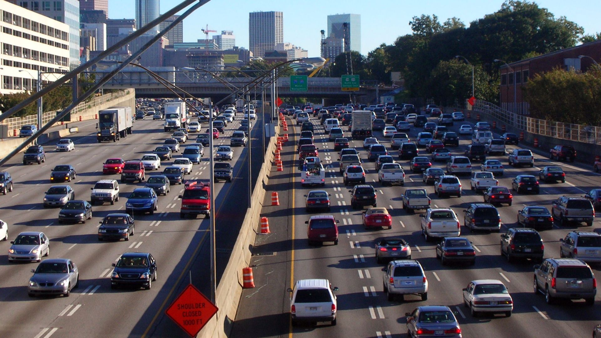
One major limitation of a printed highway map was its inability to report changing road conditions. A map could show the planned route, but it couldn't automatically identify a newly closed road or a developing traffic jam. Historical highway agencies understood the importance of updated information, and Virginia once issued monthly maps showing construction and detours. Modern navigation services have made this kind of constantly changing information much easier to access.
 Atlantacitizen at English Wikipedia, Wikimedia Commons
The 1973 Oil Crisis Changed Everything
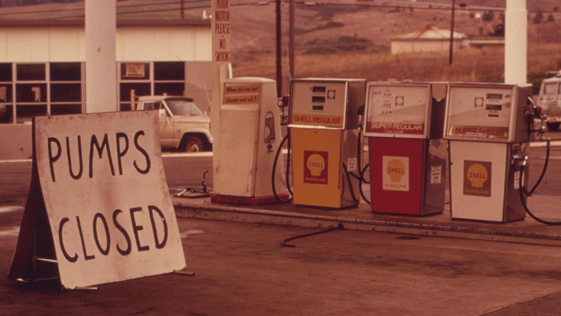
The era of plentiful free gasoline maps began fading during the 1970s. The Library of Congress identifies the 1973 Arab oil embargo as a major turning point in the decline of free map distribution. Printing costs had also increased, making the promotional giveaways more expensive for petroleum companies. By 1980, free oil-company road maps had largely disappeared from American gas stations.
 David Falconer, Wikimedia Commons
One Collector Saved Thousands Of Them
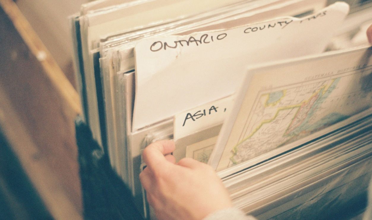
Fortunately, many examples survived because collectors recognized their historical importance. Charles B. Peterson III began collecting free gasoline maps as a child in Pennsylvania during the late 1940s. He later assembled an enormous collection and donated thousands of maps to the Library of Congress. His work helped preserve a remarkable record of American highways, advertising, tourism, and changing travel habits.
Could You Still Navigate With One Today?
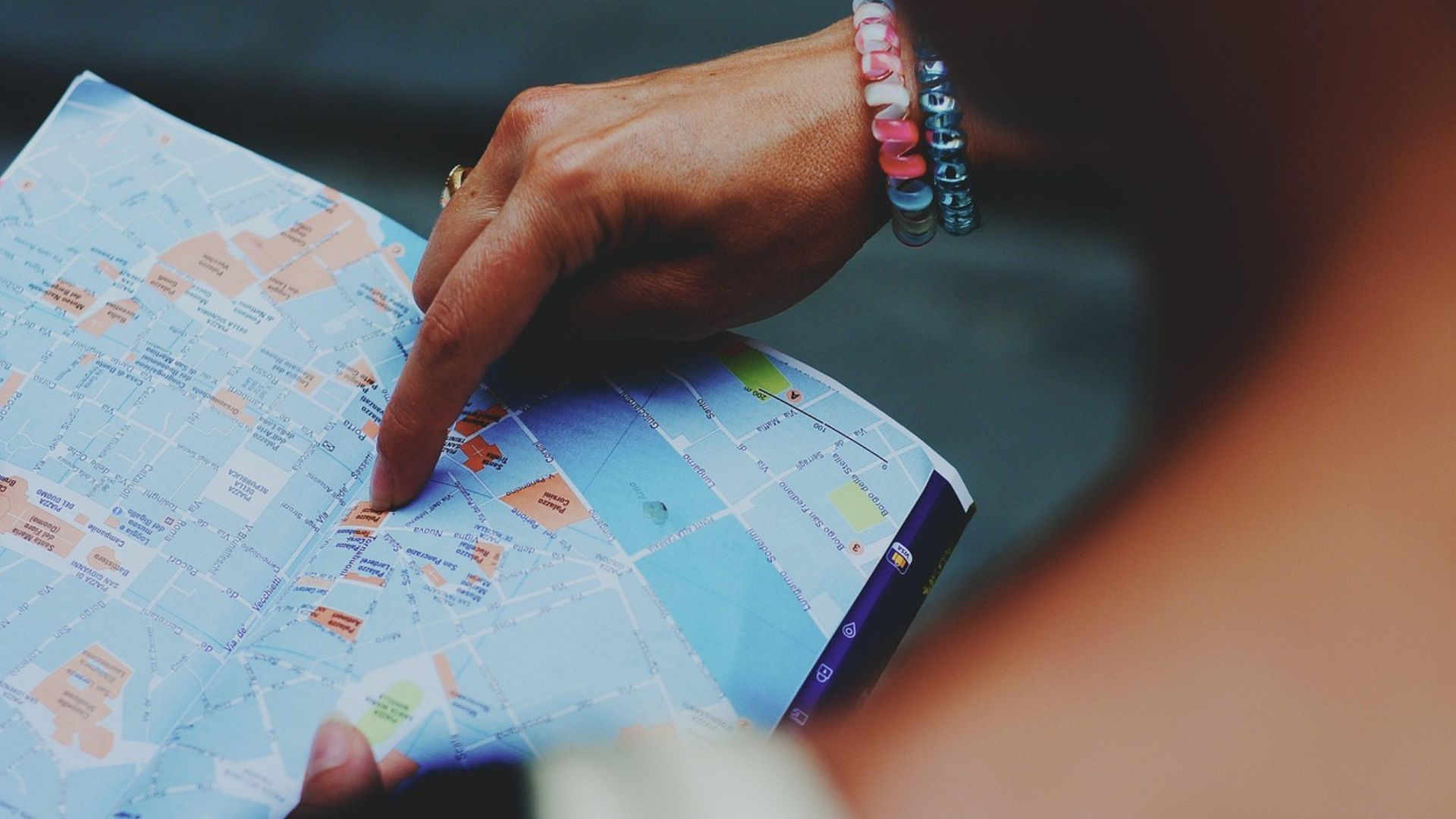
The basic skills required to read a paper highway map haven't disappeared. Drivers can still identify numbered highways, interpret symbols, estimate distances, and compare printed routes with road signs. However, a vintage map should not be trusted as an accurate guide to today's roads because highways, interchanges, and local streets can change. A current printed map would provide a much fairer test of whether someone could navigate without electronic assistance.
Maybe The Old Maps Still Have A Place
Modern GPS navigation is undeniably convenient, but a paper map offers something different. It provides a broad overview of a region without requiring a battery, cellular connection, or functioning electronic device. State tourism agencies and commercial map publishers have continued offering printed road maps even after gasoline-station giveaways declined. Keeping a current one in the car can be a practical backup, especially when traveling through unfamiliar territory.
 Cristofer Maximilian, Unsplash
So Could You Really Find Your Way Without GPS?
For an ordinary highway journey, the answer is yes, provided the map is current and the driver understands how to use it. Following numbered routes, recognizing highway signs, and checking distances are learnable skills rather than forgotten mysteries. Navigating complicated urban streets or unexpected detours would require more patience, but the same basic principles still apply. Those old gasoline-station maps are a reminder that generations of motorists crossed the country with little more than printed directions, road signs, and a sense of adventure.

You May Also Like:
Classic Truck Features That Drivers Miss Now That Pickups Have Gone Luxury
Popular Vehicle Features That Mechanics Say Cause More Trouble Than They’re Worth
The Most Valuable Survivor Cars That Escaped The Crusher Against All Odds