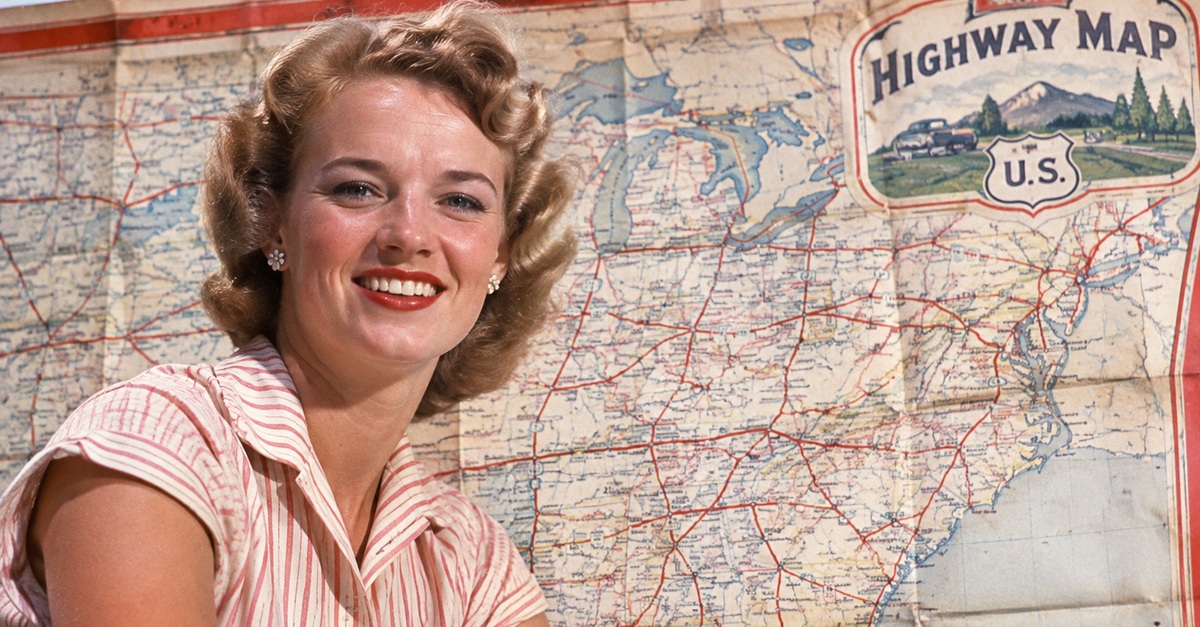
Long before GPS told drivers when to turn, American road trips often began with a colorful paper map picked up at a gas station. These maps showed highways, towns, distances, and sometimes tourist attractions, all folded into something small enough for a glove compartment. Oil companies once handed them out by the millions, making them a familiar part of American driving culture. But could the average driver today actually navigate with one?